
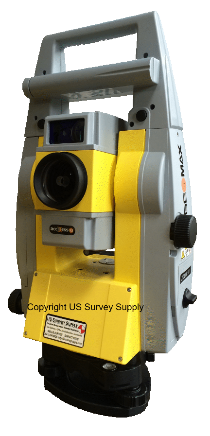

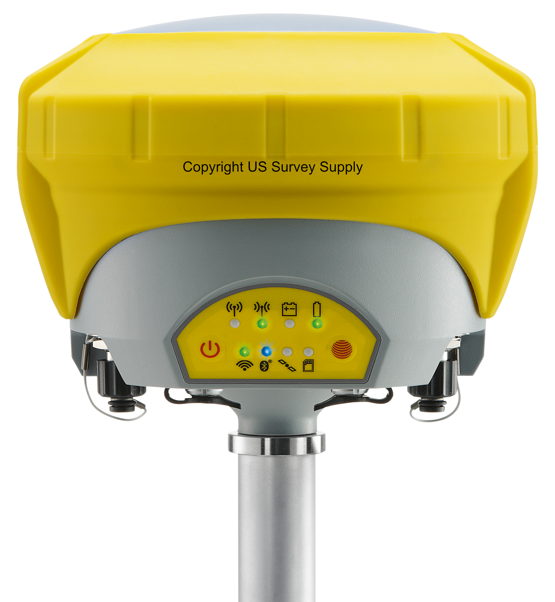

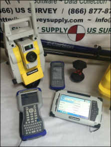
Total Station and GPS Support
- FieldGenius supports all popular conventional and robotic total stations, as well as most RTK GPS receivers.
- Easy to use instrument toolbar ensures that your instrument options and settings are easily accessible.
- OmniSTAR support.
Powerful Road Module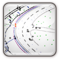
- FieldGenius roading module is the most powerful and easy to use roading available.
- Manually input your alignment data including centerline, vertical, and template data.
- Powerful alignment staking tools help you stake your points along your alignment with confidence. After you've staked your points, generate cut sheet reports using our cut sheet generator.
All the Staking Tools You Will Ever Need
- FieldGenius includes staking commands for points, lines, arcs, alignments and 3D surfaces.
- All observations are recorded in the raw file as well as in the project coordinate database.
- A cut sheet generator helps you determine if the points you staked are where they should be.
Works with Tablets and Desktop PCs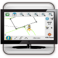
- Not just for mobile devices & data collectors - it works great on Windows-based tablets as well!
- The desktop version is great for learning how to use FieldGenius and it comes with all the same tools and functions that are available on the data collector version.
- Use it to manually input your alignment data prior to heading out to the field, or use it to check projects that the field crew just downloaded.
- Projects are interchangeable between the desktop version and your data collector.
It's Easy to Use
- The Tap'n Survey interface allows you to take shots, stake points, edit coordinates, stake a line, or any of the things you do all day long. A single graphics tap takes you immediately to the function you want.
- Our logical icons and real toolbars are easy to use and understand. Larger buttons for common commands make it easy to pick on the screen.
- You get more work done faster with our advanced interface that skips all the complicated menus.
Code-free Connectivity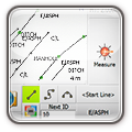
- Line connectivity is not feature code dependent. A single line may be made up of points having different feature codes.
- Preset codes are not required. Best linework available!
- FieldGenius supports multiple lines using the same feature code.
- Supports quick and easy line editing.
- Arcs, Lines, and Splines are all fully 3D and can all be used in the same figure.
Painless Data Transfer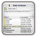
- MicroSurvey's ActiveSync support automatically connects with FieldGenius to show you all the projects on your device. Upload and download with a mouse click.
- FieldGenius uses RW5 files for raw data. This allows you to transfer your raw files into any modern surveying software.
- Coordinate and connectivity files are standard dbase format files that can be opened in Excel for further processing. Our database is open to you.
Advanced Autodesk Land Desktop Support
- Painless way to get your data directly from FieldGenius into LDD. NO other software is needed. Just export directly from FieldGenius to an FBK file, then import into the Survey module.
- Our transfer sends both coordinates and linework into LDD.
- Linework comes in as LDD Figures to make them easy to work with. Coordinates are true LDD coordinates that list & print as normal. A Huge time saver - no file conversions - just import directly from your data collector!
Advanced Display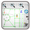
- Improves the ease and speed of your survey data collection.
- Details of each shot can be displayed in a small pop up window in your drawing (HA, VA, SD, Next Point ID and Target Height).
- View coordinates, drawing info and computation results using the display.
- Added color control, view filtering and point symbols.
Contouring, Surfacing, and Volume Calculations
- Create accurate contours in your hand.
- One tap functionality. Modeling could not be easier.
- Automatic support for breaklines.
 Superior Data Import
- More data imports than other software. Our RW5 support allows you to take an RAW file out of a TDS data collector and reprocess it into coordinates.
- DXF direct import including lines, arcs, polylines, points, text and 3D faces.
- LandXML direct import. Includes LandXML alignments, parcels, points and surfaces.
 Custom Toolbars
- Custom instrument control toolbars for GPS and total stations on the main interface minimizes the need to dig into menus for common toggles and settings.
- Everything is at your fingertips.
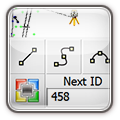
One-Tap Measure and Store Shot Functionality
- When in SideShot mode, the big measure button makes taking a shot easy. Just tap the screen with your finger and it takes a shot. No searching for the Enter key or a small button on the screen. Our "shot" button is about the size of your thumb!
- Smart toolbars provide direct command access from data picked from the drawing.
 Large icons, logical layout, high def graphics
- Informative icons in logical layouts help you breeze through menus at a spectacular pace.
- High resolution graphics make use of the newer high-dpi screens. Crisp and clear text, symbols and other visual elements.
 Works on More Devices
- FieldGenius works on more Windows CE hardware models than the competition: Nautiz X7 by Handheld, Juniper Systems Archer (Carlson Mini) and Allegro Field PCs, TDS Nomad/Ranger/Recon, Trimble TSCE/TSC2, Topcon FC-100/FC-1000/FC-2000, Compaq/HP iPAQ Series, and now the Leica Viva! Works on Windows Mobile 5 and 6 devices.
- Need a larger screen? FieldGenius works on all Windows 7 and Windows CE tablets. Such as the Algiz 7 (Carlson Supervisor) by Handheld, and the Mesa Rugged Notepad by Juniper Systems.
- Choose the hardware device that’s right for your durability requirements and fiscal restraints, not your software.


