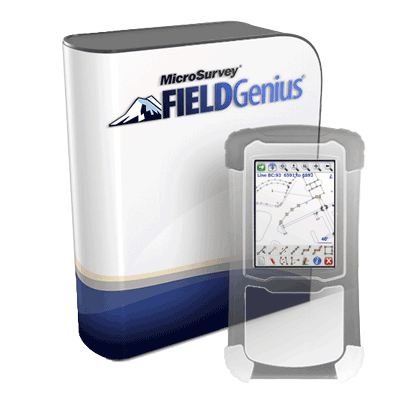
Experience the power and productivity gains of being able to see your ongoing field work in the palm of your hand.
Many of our current customers confirmed that they had doubts when they first looked at the software because it is different. Now they realize that FieldGenius gives them a competitive advantage in the field. Some of our customers have reported up to a 30% reduction in the time it takes them to complete a job because of the advantages FieldGenius offers.
With this newest version of FieldGenius, there is no better time to discover why this difference makes a difference.
A simple-to-use desktop-based product designed specifically for the construction layout professional. Point Prep is used to open and save DWG and DXF files and allows you to quickly review, calculate, and extract points from a drawing for layout in the field.
If you are familiar with a CAD-based system, you can be drafting and calculating with MicroSurvey Point Prep in as little as a few hours. If you have never used a CAD based system, you can be drafting and calculating in as little as a day.
MicroSurvey Point Prep is a standalone program, but syncs easily with MicroSurvey Layout so points and drawing data can be easily used at the job site for layout.
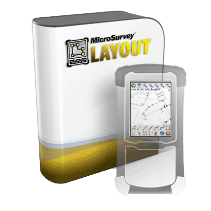
A simple-to-use graphical field product designed specifically for the construction layout professional. Used on its own, or in conjunction with Point Prep, MicroSurvey Layout gives you all the tools you need to lay out your points and lines accurately and easily.
Also included is an as-built mode that allows you measure existing points on a job or pick up points needed for earthwork quantities.
MicroSurvey Layout is designed with logical menus and toolbars, finger-sized buttons, a powerful map screen, and support for both small handheld data collectors and full Windows tablets.
MicroSurvey CAD 2014
Powered by IntelliCAD®, field to finish has never been this easy. Available in 5 different levels, MicroSurvey CAD is the design solution engineered especially for surveyors.
The Premium edition includes COGO, DTM, and DESIGN functions - no plugins are required. Ultimate includes everything, including point cloud handling. Studio has point cloud plus animation capabilities.
MicroSurvey embeddedCAD, powered with Autodesk technology, is 100.0% compatible with AutoCAD® DWG® files. It's a fully-featured standalone surveying powerhouse with an industry-leading CAD engine.
Old habits are hard to break. This program is built for surveyors that want to stick with a traditional CAD interface and engine, while having the ability to compute coordinates, balance traverses, annotate drawings, compute areas, and use every other tool relevant to the modern surveyor.
MicroSurvey is an Autodesk authorized developer. MicroSurvey embeddedCAD opens and saves AutoCAD drawing files and uses DWG as its native format. The command set, toolbar and menu structure will be familiar for anyone who has received AutoCAD training, so you can install MicroSurvey embeddedCAD into existing AutoCAD environments with ease!
MicroSurvey inCAD transforms AutoCAD® into a survey and design powerhouse while maintaining a fully integrated user interface within AutoCAD.
Surveyors need tools to help them compute coordinates, balance traverses, annotate drawings, compute areas – and the list goes on. Adding inCAD to your existing copy of AutoCAD is like switching from measuring with a chain to measuring with an EDM. After a few months you'll wonder how you ever worked without it!
MicroSurvey is an Autodesk authorized developer. MicroSurvey inCAD runs on AutoCAD 2012 & 2013 and uses DWG as its native format. The command set, toolbar and menu structure remain unchanged, with exception to a plethora of MicroSurvey tools added to the main menu.
A GPS data capture and stakeout program designed specifically for the seismic surveying industry. Save time and money: Seismic Surveyor allows you to take shots, stake points, edit coordinates, and stake lines – all at an incredible pace.
Seismic Surveyor is designed to be easy to use, and more importantly, easy to learn. The software is designed with the seismic surveyor in mind. We've kept things simple so your productivity can remain high.
Simple to learn, set up and use, even if your staff have not been formally trained in surveying!
Testimonials:


