


Real-time Surveying with Carlson Field
Here’s real-time kinematic GPS and total station data collection directly in CAD! Carlson Field enables real-time Surveying in CAD on small Palmtop/Laptop computers. This Carlson Field feature is an industry first from Carlson Software.
The power of Carlson Field is revolutionary. If you are currently using Carlson Tsunami, or previous versions of Carlson Field, check out the current feature and improvement list.
With this program, you can see what you are collecting, zoom in and out, or pan over. You can do any basic COGO operation and also any high-level CAD operation. You can even stakeout building corners, lot corners or any CAD feature by “snapping” to the CAD entity — without creating point numbers.
In addition to Carlson Field running on top of any AutoCAD® or Map®, Carlson Field comes with built-in IntelliCAD® for no extra cost with every license of Carlson products. Carlson Field is available as a modular program of the Carlson line of office software, which comes with 64-bit capabilities, is Windows 10 compatible.
* Call us @ 866-USSURVEY for best pricing!
Recent Improvements
-
Coordinate Systems
- Added support for Great Britain (OSGB-36), Australia (GDA-MGA, AGD84-AMG, AGD84-ISG, AGD66-AMG, AGD66-ISG), New Zealand (NZGD2000, NZGD49), Puerto Rico State Plane 83 and France (NTF-GR3DF97A). There is also a new user-defined datum and projection method. The datum definition consists of a Helmert 7-parameter datum shift with lookup tables for ellipsoids and datum shift values. The ellipsoid can also be user-defined. The user-defined projection supports Transverse Mercator, Lambert Conformal Conic 1 SP/2 SP, Double Stereographic, Oblique Mercator and Oblique Stereographic.
Geoid Support
- Added support for geoids of Great Britain (OSGM02), Australia (GDA94) and Canada (CGG2000, HT 2.0, HT 1.01).
Coordinate Order
- Added the option whether coordinates are reported in northing-easting or easting-northing order.
Align Local Coordinates
- For two point alignments, added the option for rotate-only where the first control point is used for translation and the second is used only for rotation. Added a report function to make a report of the localization control and GPS reference coordinates.
Multiple Measurements
- The same point number can be measured multiple times and the program will average the coordinates for the point. Before accepting a new measurement, the program reports the statistics on how the new measurement effects the average.
Pitch Adjustment
- For GPS, there is a new option to calculate the pitch based on the path of GPS positions. This pitch is then used to correct the position for below the antenna in Auto Points At Interval, Store Points, Track Position, Centerline Position and Elevation Difference. This option applies when mounting on a vehicle like an ATV.
Store Point
- Added a toggle for 'No Elevation' to create the points at zero elevation. For GPS, there is a new option to automatically start this routine in continuous read mode.
Stakeout
- The screen pick point option has been improved to allow you to select from different snaps before picking the point.
Field to Finish
- Added support for user-defined special codes such as start/stop and PC/PT. Also added support for split multiple codes for linework. In Store Point, there is a new toggle to Join linework to a previous point.
Centerline Position
- Added an option to use a profile to report cut/fill. Also added an option to use an light bar for guiding arrows based on left/right offset.
Elevation Difference
- Added the option to use road design and cross section files to define the surface. These files include centerline, profile, template, section, superelevation and template transition. The program will calculate the design elevation for your current position from the road or section files and report the cut/fill and station/offset.
Point Check by Robotic
- This is a new command to automatically take a series of direct-reverse shots to known coordinates and generate a report of the difference between the known coordinates and the coordinates calculated from the measurements.
GPS Equipment Setup
- A text file can be used for sending multiple commands to the receiver.
Ashtech
- Added function to reset the RTK solution. Added a configuration option for whether to enable the receiver warning beep.
InnerSpace
- Added support for the InnerSpace Tech depth sounder.
Leica GPS
- Added support for using cell phones for the RTK messaging.
Sokkia Laser
- Added support for the Sokkia Contour Laser. True Field-to-Finish!
Features
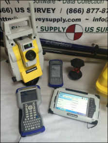
- Full data collection inside CAD.
- Create a new drawing or update existing drawings directly in the field.
- Cut & Fill automatically displayed for staked points with elevation or along any TIN or Grid terrain model.
- Station and offset reporting instantly for GPS or for Total Station stored points along any centerline created and loaded in Carlson Survey.
- Unlimited 6th field GIS smart prompting for direct storage to a MDB database table, form or report.
- Carlson Field, coupled with Carlson’s GIS Module, quickly becomes the true Data Link that Planning and GIS professionals need and demand.
- Data Capture routines from SurvStar into AutoCAD MAP using our GIS Plus software entirely automate downloading, review/edit collected GIS info and create or update MDB GIS database tables.
- All GIS point data is automatically drawn layerized, with specific corner symbols, sized with line work using Carlson Software’s Field-to-Finish routine. GIS point data is linked to the database all in one step.
File Import/Export
- Collects and stores points directly in the AutoCAD .DWG format.
Points & Linework
- Plots points with symbols selected from symbol library.
- Plots linework. Field-to-finish is completed in the field!
- Does stakeout by point, station and offset, and road template.
- See your points and linework as you data collect.
Compatibility
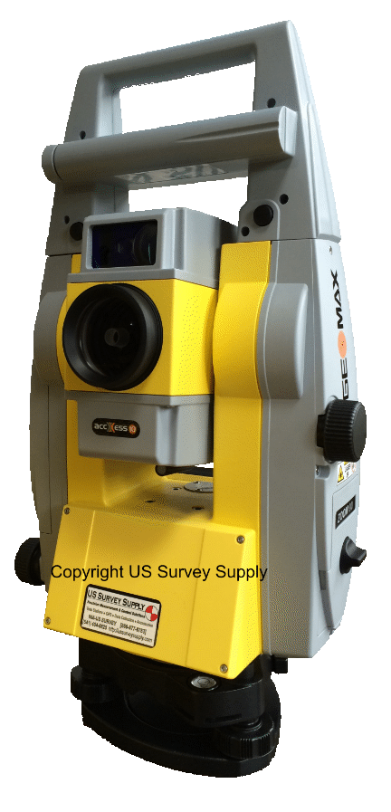
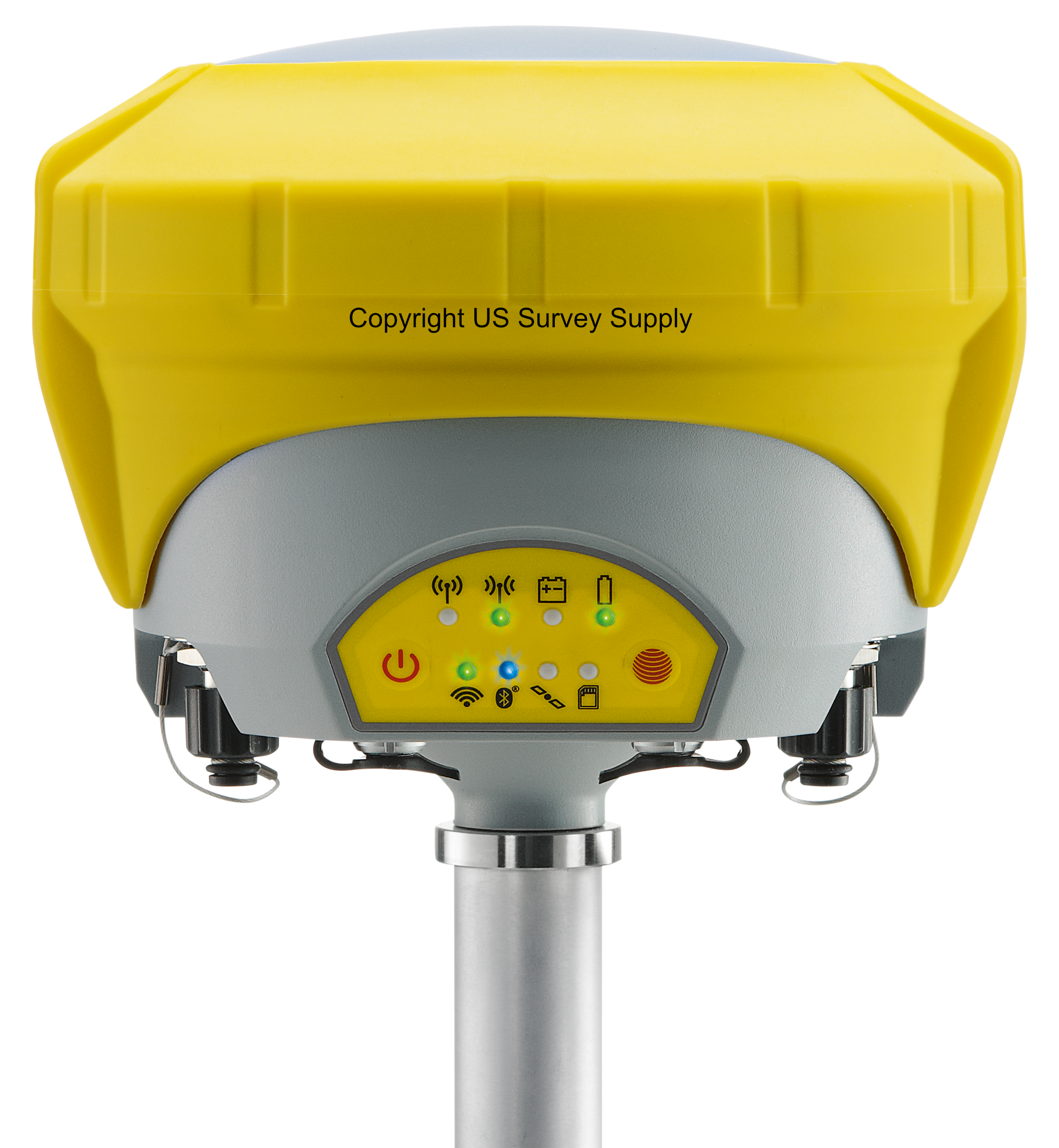
- Works with all major brands of total stations and GPS equipment.
- Field is designed for GIS work. It allows the collection of data associated with valves, manholes, power poles and other standard GIS elements. It works with affordable, sub-meter accuracy GPS systems from various manufacturers.
Testimonials:


