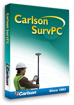
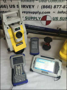
A data collection and stakeout program designed specifically for the seismic surveying industry.
Simple to learn, set up and use, even if your staff have not been formally trained in surveying.
* Call us @ 866-USSURVEY for best pricing!
Main Features:
- Windows Mobile based software, installs on all Windows Mobile data collectors
- Easy to use interface and commands
- Enter, edit, and import points
- Easy to use stakeout routines
- DXF import for stakeout and background viewing
- FBK Export for painless Autodesk LDD import of raw data, points, and line work
- LandXML Import / Export
- ASCII Import / Export
- Shape file Export
- Stake points and lines with a easy to use stakeout graphics screen
- Offset point and station calculator
- Coordinate calculator for converting Geodetic and Cartesian coordinates
- Spreadsheet view of the point database
- Layering system to help hide/show objects in the map
- Smart toolbars appear when you tap on points and lines in the map
- One click stakeout - tap a point and stake it
Unique Features:
- Smart measure mode automatically logs raw data when no real time solution available
- Important settings such as project defaults, or receiver profiles can only be changed if logged in with an administrative password
- Raw file contains detailed information about the survey so office managers can easily see what was done on the job site
- Nearest point search for point stakeout
- Easy to use GPS controls and setup
- On board help system so users in the field can find answers to their questions
Testimonials:


